Photo of the Week: NASA’s ‘Mars Trek’ like Google Earth for Red Planet
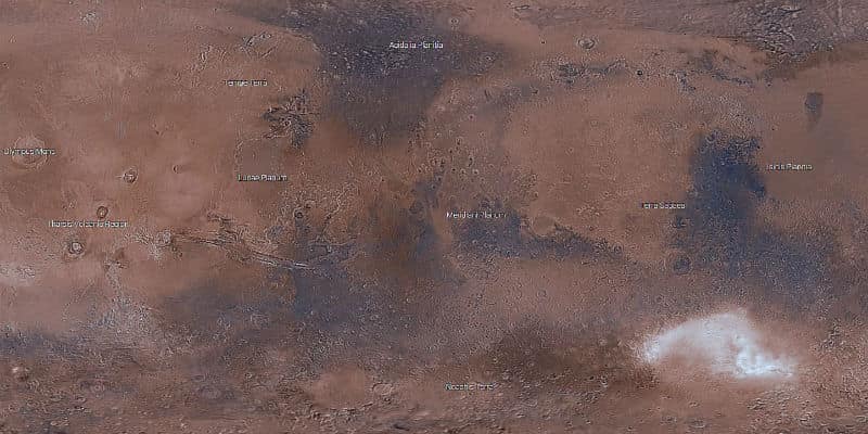
NASA’s Mars Trek tool is a pretty amazing interactive map you can use to explore Mars. Featuring data collected by NASA at various landing sites, the map acts much like Google Earth does but for the Red Planet. You can search the map and alter it using tools such as elevation profiles, sun angle calculations and Sun and Earth position.
If you were a fan of the book/movie “The Martian,” the map also includes bookmarks set to locations traveled by fictional astronaut Mark Watney. It also includes the paths taken by real life missions run by Curiosity, Spirit, Opportunity, Phoenix and Pathfinder.